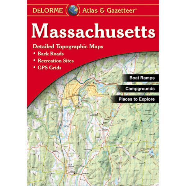
With an incredible wealth of detail, DeLorme's Atlas & Gazetteer is the perfect companion for exploring the Massachusetts outdoors. Extensively indexed, full-color topographic maps provide information on everything from cities and towns to historic sites, scenic drives, trailheads, boat ramps and even prime fishing spots.With a total of 60 map pages, the Atlas & Gazetteer is your most comprehensive navigational guide to the Massachusetts backcountry.
- Full-color topographic maps provide information on everything from cities and towns to historic sites, scenic drives, recreation areas, trailheads, boat ramps and prime fishing spots
- Extensively indexed
- Handy latitude/longitude overlay grid for each map allows you to navigate with GPS
- Inset maps provided of Boston & Vicinity and Sprinfield & Worcester are included as well as all state lands
No Description Available.
 Oakley
Ojector
Oakley
Ojector